
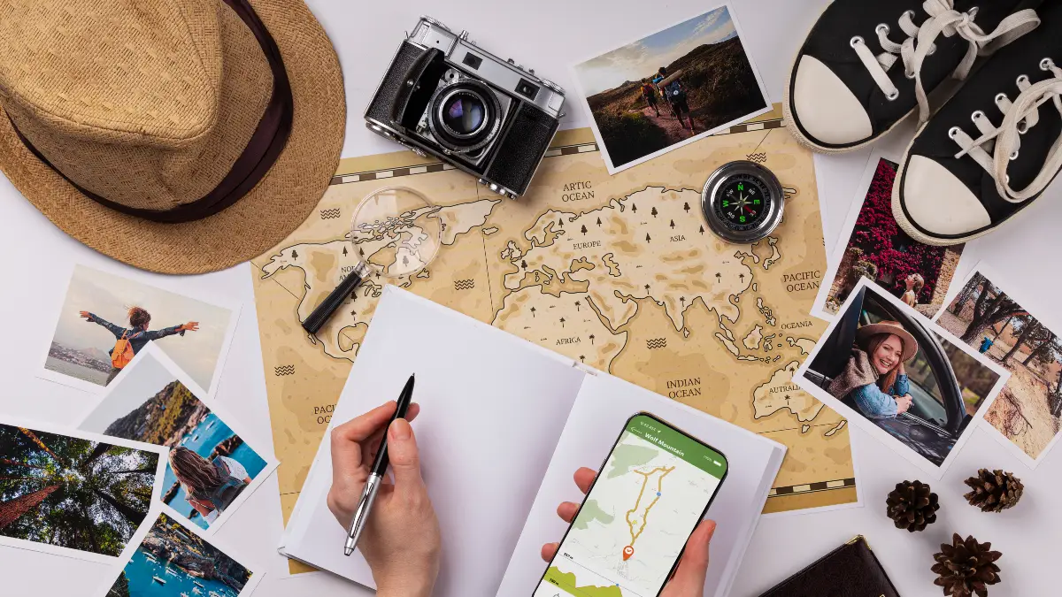
With 2.2 billion monthly users worldwide, Google Maps is the most popular navigation app, yet 72% of users only scratch the surface of what it can do.
Most travelers just use Google Maps for basic directions, missing out on powerful features that could save time, money, and stress on their trips.
This guide reveals 15 advanced features and hidden capabilities available in 2025.
These insights are based on information from travel bloggers with millions of followers, official Google data, and comparisons with other apps.
1. Ask Gemini AI Anything About Your Destination (NEW 2025)

What it is: Google’s new conversational AI trip planning tool released in October 2024.
Why it matters: Cuts your research time from hours to minutes.
How to use it:
- Type natural questions like “things to do with friends at night in NYC”
- Get AI suggestions with photos, reviews, and locations
- Ask follow-up questions about parking, dress codes, or outdoor seating
- Save your plans to Gmail, Google Docs, or Maps lists
The proof:
- Available now in the US on Android and iPhone (since October 31, 2024)
- Uses Gemini AI to analyze over 300 million user reviews and tips
- Look for the sparkle icon to find this feature
Billie Cohen, AFAR Magazine Travel Editor says: “I use it for work… I use it for fun… and I use it, most valuably, for trip planning.”
Pro Tip: Use the review summaries feature to quickly understand if a restaurant or attraction is worth visiting.
2. Preview Your Entire Trip in Photorealistic 3D
What it is: Immersive View for Routes creates AI-generated 3D previews of your journey.
Why it matters: No more surprises on your trip. You can check for parking spots, see difficult intersections, and get a feel for the area before you arrive.
How to use it:
- Enter your destination and get directions
- Tap the “Immersive View” button when available
- Slide the time bar to see the route at different times of day
- Check traffic patterns, weather, and how busy places will be
The proof:
- Available in 15 major cities including London, Paris, New York, Tokyo, and Las Vegas
- Immersive View for Places now works in over 150 cities as of October 2024
- Uses AI to combine billions of Street View and aerial images
Real-world use: Preview tricky road intersections before driving, check if restaurants have outdoor seating, or see what parking lots look like before you arrive.
3. Navigate Like a Local Using AR Arrows
What it is: Lens in Maps (Live View) puts augmented reality directions right on your camera view.
Why it matters: Perfect for confusing subway exits, finding hidden restaurant entrances, or getting your bearings in a new city.
How to use it:
- Tap the camera/Lens icon in the search bar
- Point your phone at your surroundings
- See business info and ratings floating on your screen
- Follow blue AR arrows that show you exactly where to walk
The proof:
- Works in 50+ cities worldwide including London, Paris, Tokyo, NYC, and LA
- Uses Visual Positioning System for accuracy better than regular GPS
- Now works inside 1,000+ locations like airports, malls, and train stations
Billie Cohen from AFAR says: “When I’m in a new city, I use this… so I don’t have to keep looking at my phone (because I will inevitably trip and fall over).”
4. Download Entire Regions for Offline Navigation
What it is: Complete maps you can download and use without cell service or data.
Why it matters: Essential for international travel, rural areas, or when you want to save on data charges.
How to use it:
- Search for a location → Tap its name → “Download offline map”
- Adjust the area you want to download
- Maps update automatically via WiFi every 30 days
- Access driving directions, business info, and saved places without internet
The proof:
- 450 million offline map downloads in the last 12 months
- Downloads take 100-500 MB for a small city or 1-2 GB for a large region
- Downloads increased by 27% from 2024 to 2025
Traveling to areas with limited or no connectivity? Google Maps allows you to download map data… so that you can use many of its features, even if you get disconnected.
Pro Tip: Screenshot key routes as backup, download maps before you lose connectivity, and save to SD card on Android phones.
5. Your Automatic Travel Journal (Act Fast – Changes June 2025!)

What it is: Timeline feature tracks everywhere you’ve been with photos and stats.
Why it matters: Creates a complete travel diary, gives you yearly insights, and helps you remember places you’ve visited.
How to use it:
- Go to Profile → Your Timeline
- View by Days, Trips, Cities, Places, or Insights
- See miles traveled, visit duration, and how you got around
- Edit or delete any entries
- IMPORTANT: Timeline is moving to on-device storage June 9, 2025
The proof:
- Links with Google Photos for automatic trip albums
- Shows total distance, time at different places, and cities visited
- December 2024 update includes a yearly summary (like Spotify Wrapped)
- After June 9, 2025, data will only be stored on your phone (not in the cloud)
- You must save your data before the deadline or lose most of your history
Action Required: Back up your Timeline data before June 9, 2025. Only the last 90 days will transfer automatically.
6. Never Lose Your Car Again

What it is: Save Parking Location feature with photos, notes, and timer.
Why it matters: Essential in unfamiliar cities, big parking structures, or crowded events.
How to use it:
- Before leaving your car, tap the blue dot showing your location
- Select “Save Parking”
- Android bonus: Add photos, notes, and parking meter countdown timer
- To find your car, just search “Parking Location” to navigate back
The proof:
- Saves a yellow pin for 24 hours automatically
- Works across all your devices
- Shows how hard parking will be at your destination
Save important destinations on your Google Map, such as… accommodation, nearest hospital, pharmacy, grocery store, and embassy.
Pro Tip: Take a photo of your parking level/zone number and set a timer alarm 15 minutes before your meter expires.
7. Build Perfect Road Trips with AI-Suggested Stops

What it is: Multi-stop route planning with AI suggestions for landmarks and restaurants.
Why it matters: Turns boring drives into exciting journeys with interesting stops.
How to use it:
- Enter your destination → Get directions
- Tap “Add stops” to see AI-suggested landmarks, scenic spots, and dining options
- Add as many stops as you want and drag to reorder them
- See total distance, time, and fuel/charging needs
- Share your progress with friends in real-time
The proof:
- “Explore Along Route” feature launched in 2025
- 41% of long trips now use multi-stop planning
- EV route planning shows charging stations with real-time availability
- About 25% of US chargers are down at any time (Google helps you avoid broken ones)
Perfect for: Planning scenic coastal drives, finding local diners on cross-country trips, or creating brewery tours.
8. Emergency Location Sharing That Could Save Your Life

What it is: Real-time location sharing with emergency contacts.
Why it matters: Critical safety feature for solo travelers, hiking, or late-night navigation.
How to use it:
- Tap the blue dot menu → “Share location”
- Choose how long to share or select “Until you turn this off”
- Shows both your location AND battery percentage to contacts
- For Pixel phones: Works with Personal Safety app for additional features
- During navigation, use “Share trip progress” for real-time updates
The proof:
- Emergency Location Service automatically sends your precise location when calling 911
- Pixel phones (4a and newer) can detect car crashes using sensors
- Safety Check feature automatically triggers Emergency Sharing if you don’t check in
- Works even with limited GPS signal by using WiFi/cell tower data
When I am traveling solo, I always keep my location services turned on for safety.
Safety extras included:
- Crisis alerts for natural disasters (wildfires, floods, earthquakes, hurricanes)
- Wildfire boundaries shown on map
- Emergency phone numbers for your location
- Real-time incident reporting
9. Know What to Order Before You Arrive

What it is: AI-powered Menu Highlights showing the most popular dishes.
Why it matters: Helps you avoid menu anxiety, order like a local, and discover signature dishes.
How to use it:
- View a restaurant listing
- Scroll to the “menu highlights” section
- See photos and reviews of the most popular dishes
- Based on AI analysis of user photos and reviews
The proof:
- Powered by Gemini AI analyzing millions of user photos
- Part of the October 2024 AI update
- 999 million reviews published in 2024
- 752 million photos/videos published in 2024
- Reviews influence 85% of Google Maps-driven consumer decisions
Perfect for: First-time visitors to ethnic restaurants, picky eaters, or food bloggers researching signature dishes.
10. Travel Back in Time with Street View

What it is: Historical Street View images dating back to 2007 and beyond.
Why it matters: See how neighborhoods have changed, revisit childhood homes, or track urban development.
How to use it:
- Enter Street View mode
- Click the clock icon (on desktop) or “See more dates” (on mobile)
- Slide through historical images
- Fun fact: Pegman transforms into Doc Brown (from Back to the Future) when time-traveling!
The proof:
- 220+ billion Street View images worldwide
- Covers more than 10 million miles of roads
- Available in over 100 countries
- Street View usage grew 14% in the past year
Creative uses: Real estate research, nostalgia trips, tracking neighborhood changes, or historical research.
11. Collaborate on Trip Planning with Emoji Voting

What it is: Shared lists with comments and emoji reactions.
Why it matters: Makes group travel planning fun and fair for everyone.
How to use it:
- Create a custom list → Save locations
- Share the list with your travel companions
- Friends can react with emojis (heart, smile, fire, thumbs down, money)
- Add comments like “Let’s go here after the street-art tour on Monday”
- Export as PDF or share via Gmail/Google Docs
The proof:
- Emoji voting feature added in 2024
- Lists sync across all your devices automatically
- You can create unlimited custom lists
- Popular with travel bloggers for sharing itineraries
I create a list, add places of interest (museums, restaurants, shops, libraries, etc.) and share it with my travel crew so that they can weigh in on my picks and add their recommendations.
Pro Tip: Create separate layers for “Important,” “Eating/Drinking,” and “To Do” – use different colors/symbols for quick visual scanning.
12. Save Money and the Planet Simultaneously

What it is: Fuel-efficient routing showing eco-friendly routes.
Why it matters: Reduces fuel costs and minimizes your carbon footprint.
How to use it:
- Routes automatically show a fuel-efficient option with a green leaf icon
- See fuel savings compared to the fastest route
- Turn on/off in Settings → Navigation → Prefer fuel-efficient routes
- Works worldwide
The proof:
- Prevented 2.7 million tons of CO2 emissions in 2024
- Equal to removing 600,000 cars from roads annually
- Available globally as of 2024
- Saved 1.2 million metric tons by end of 2022
- EV route planning grew 56% from 2024 to 2025
Additional eco-friendly features:
- Low-emission zone alerts (1,000+ zones in Europe)
- Public transit alternatives shown with “also consider” cards (15+ cities)
- EV charging optimization with real-time availability
13. Get Warned About Dangerous Weather Conditions (NEW 2024)

What it is: Community-driven weather disruption reporting.
Why it matters: Prevents getting stranded and improves safety in bad weather.
How to use it:
- See and report flooded roads, unplowed roads, and low-visibility conditions
- Get real-time alerts during navigation
- Reports are verified by multiple users
- Use voice commands to report conditions while driving
The proof:
- Global rollout in October 2024
- Integrated with crisis alerts for natural disasters
- Similar to Waze incident reporting (Google owns both apps)
- Processes 20 million real-time traffic reports daily
Related safety features:
- Police checkpoint warnings
- Speed camera locations
- Road hazards
- Accident reports
Expert insight: Waze integration (July-December 2024) brings comprehensive incident data from 150 million Waze users to Google Maps.
14. Measure Hiking Trails and Calculate Distances

What it is: Distance measurement tool for off-road paths.
Why it matters: Plan hiking routes, estimate walking times, or measure property boundaries.
How to use it:
- On desktop: Right-click → “Measure distance” → click points
- On mobile: Long-press → drop pin → swipe up → “Measure distance” → tap + button
- See individual segment distances and total length
- View elevation data
- Measurements sync across your devices
Perfect for:
- Hiking trail planning
- Cycling route creation
- Cross-country skiing paths
- Sailing routes
- Running distance calculation
- Property measurements
Pro Tip: Use terrain view layer to assess difficulty and use satellite view for precise measurements.
15. Avoid Crowds with Real-Time Busyness Data

What it is: Popular Times graph showing typical and current crowding.
Why it matters: Skip long lines, visit attractions during quiet times, and plan efficient daily schedules.
How to use it:
- View a business listing
- Check the “Popular times” graph (shows typical busy periods)
- See real-time crowding indicator (current occupancy)
- Check “Visit duration” estimates
- Plan your visit accordingly
The proof:
- Based on location data from billions of users
- 68% of users allow background location tracking (which enables this feature)
- 32% of users interact with business listings while navigating
- 45% of users say Google Maps helps reduce travel anxiety
Additional discovery features:
- “Open Now” filter for late-night options
- Curated Lists: Trending (updated weekly), Top (tried-and-true), Gems (hidden discoveries)
- Expert lists from Infatuation, Lonely Planet, NY Times, OpenTable
- Available in 40+ US and Canadian cities
Real-world use: Visit the Eiffel Tower during quiet morning hours, find restaurants without waits, or avoid crowded museums.